
Top 10 Hikes Near Bangkok
- Cmac

- Nov 4, 2020
- 3 min read
Updated: Jan 5, 2022
We all know about the hiking in the northern region of Thailand with their tall peaks and beautiful rolling mountain landscapes but you can definitely get similar just as rewarding hikes only 2-3hrs drive from Bangkok. Below are a list of my favorite hikes.
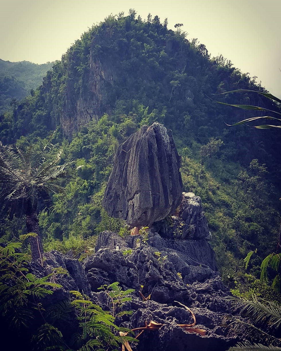
Mt Khao Laem Medium

Height - Approximately 1110 metre's elevation
Entry to trail coordinates - 13°32'58.1"N 99°13'55.4"E
Trail length - Approximately 8-10 km
Time required - 1-3 hrs for ascent & 1-2 hrs for decent
Rope - There is rope in the most steepest section
Difficulty & Danger - Medium. One baby speckled coral snake seen.
Water intake - 2 litres per person & take a snack
Guide needed - No
4G - Very limited
Krok E Dok hard

Height - Approximately 600 metre's elevation
Entry coordinates - 14°27'25.8"N 101°11'30.4"E
Trail length - Approximately 12 km
Time required - 1-3 hrs for ascent & 1-3 hrs for descent
Rope - There is rope in some places but with ants
Difficulty and danger - Hard. A tiger was possibly heard in a cave and there are elephants present on the trail. Narrow edges with high drops onto rocks
Water intake - 2 litres per person and take a snack
Guide needed - Yes probably when the waterfall is in full flow but in the dry season you should be ok on your own.
4G - very limited
Kao Wat Pa Bo Thong Hike EASY

Height - Approximately 500 metre's elevation
Entry Coordinates - 13.260286, 101.338793
Trail Length - Approximately 2-3 km
Time required - 1-2 hrs for ascent & 1hr for descent
Rope - None, not needed -
Difficulty - Easy but lots of mosquitos
Water intake - 1 litre per person and take a snack
Guide needed - No
4G - Yes, throughout the hike
IN-Kwaen MOUNTAIN Medium
Height - Approximately 150 metre's elevation
Entry Coordinates - 14.013336, 99.475227
Trail Length - Approximately 200 metre's
Time required - 1 hr for ascent & 1 hr for descent
Rope - None
Difficulty - Quite overgrown with lots of loose rocks. Near the top the rocks are very sharp.
Water intake - 1 litre per person and take a snack
Guide needed - No, There is a Monk called Pra Lek in the nearby temple, he can help you.
4G - Yes, throughout the hike
LION Hill medium

Height - Approximately 200-300 metre's elevation
Entry Coordinates - 14.065731, 99.333542
Trail Length - Approximately 1-5 km
Time required - 3 hr for ascent & 2 hr for descent
Rope - None
Difficulty - Not too bad, it is more of just a big hill full of motorX and hiking trails, explore!
Water intake - 2 litre's per person and take a snack
Guide needed - No, just explore all the trails.
4G - Yes, in most places
Guide - Coming soon
Khao Dang View Point Easy

Height - Approximately 250 metre's elevation
Entry Coordinates - 12.132776, 99.959575
Trail Length - Approximately 1-5 km
Time required - 1 hr for ascent & 1 hr for descent
Rope - None
Difficulty - The trail is clear but quite steep in places with sharp rocks
Water intake - 1 litre per person and take a snack
Guide needed - No
4G - Yes, in most places
Guide - Coming soon
Tri Treung Waterfall & tad lod yai cave Medium
Height - Approximately 300 metre's elevation

Entry Coordinates - 14°39'39.0"N 99°18'14.8"E
Trail Length - Approximately 5km up and down
Time required - 2 hr for ascent & 2 hr for descent (This is taking your time, especially at the top)
Rope - Not needed as there are some stairs. Some sections are not perfect but seem stable.
Difficulty - The trail is clear but quite steep as you get near the top. Some of the sections of wooden
steps are in a poor condition but are still stable and
safe as far as I can see.
Water intake - 1 litre per person and take a snack
Guide needed - No but available.
4G - Mostly none.
Khao Hao Muak MEDIUM

Height - Approximately 100 metre's elevation
Entry Coordinates - Khao Hao Muak - 14.342877, 101.132309
Trail Length - Approximately 2km up and down
Time required - 1 hr for ascent & 1hr for descent (This is taking your time)
Rope - Not needed; rocks, trees and vines to pull your way up the last stage
Difficulty - The trail is clear but quite steep as you get near the top.
Water intake - 1 litre per person and take a snack
Guide needed - No but available from the village for a few hundred baht
4G - Yes

